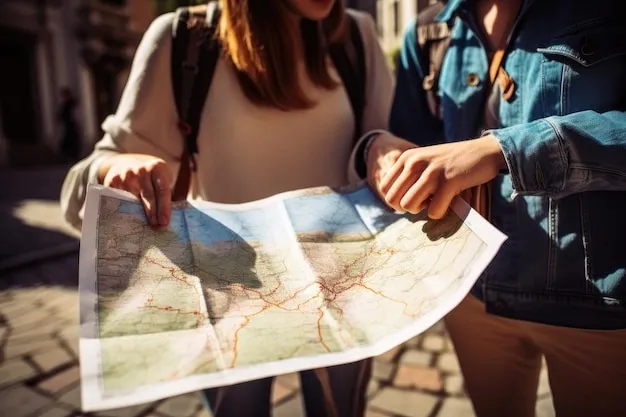
Are you ready to take your climbing adventures to new heights? Choosing the right map is the first step to a successful and enjoyable climb. With the vast array of maps available, it can be overwhelming to decide which one to use. As a seasoned climber, you know that a good map can be the difference between a thrilling experience and a frustrating one.
In this article of nationalparkshops’s team, we’ll share our expertise on how to choose maps for climbing, covering the essential factors to consider, from scale and contour intervals to GPS compatibility and weather resistance. Whether you’re a beginner or a seasoned pro, our guide will help you navigate the world of climbing maps and ensure that you’re always on the right route.
Scale and Detail
How to choose maps for climbing?
When selecting a climbing map, the scale and detail level are crucial factors. The scale indicates the relationship between actual distances and those shown on the map. A larger scale means more details and greater accuracy. For instance, a 1:24,000 scale signifies that one inch on the map equals 24,000 inches in reality.
It’s essential to pick a climbing trail map with an appropriate scale for your specific requirements. If you plan to hike long distances or navigate challenging landscapes with intricate trails, choose a larger-scale map that offers more detail. Conversely, if you’re going for a short day climb on clearly marked paths, a smaller-scale map should be sufficient.
Topographic Information
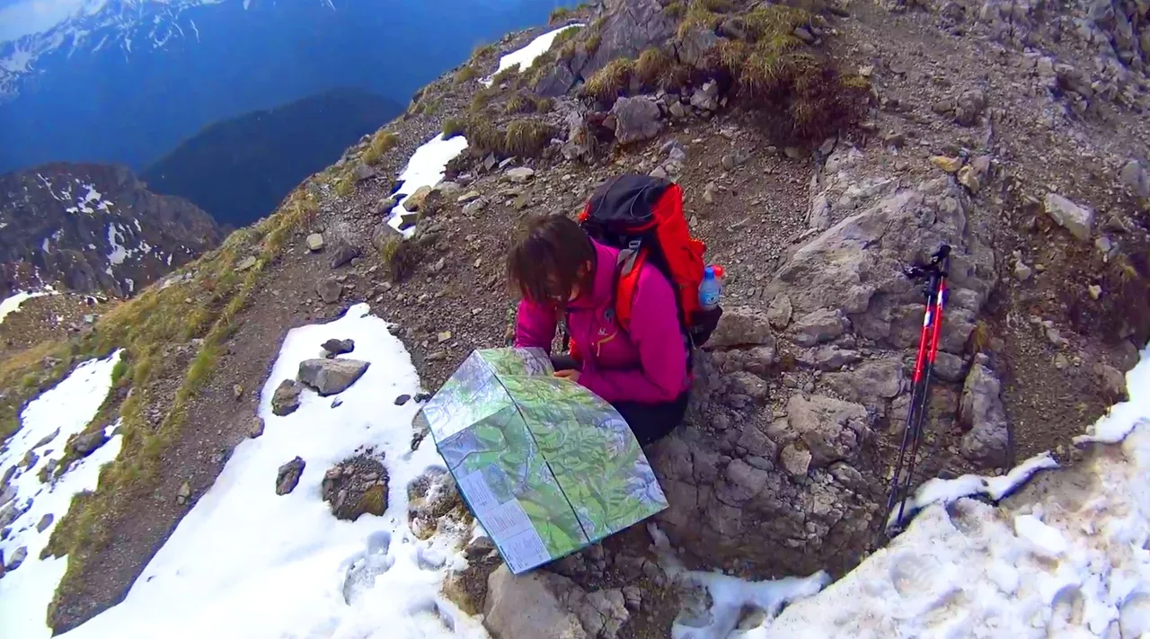
One important feature of an effective climbing trail map is the inclusion of topographic details. Topographic maps illustrate variations in elevation through contour lines, which assist climbers in grasping the landscape they will face during their climb.
Seek out maps that offer comprehensive topographic data, including contour lines spaced consistently (for instance, every 10 feet) or shading that represents elevation changes. This information will enhance your awareness of steep climbs or declines and aid in organizing your hike accordingly.
Up-to-Date Information
How to choose maps for climbing? When selecting a climb trail map, verifying that the information is both precise and current is crucial. Trail conditions can fluctuate because of weather, natural events, or maintenance activities, making it vital to have the latest map for a safe and pleasant climb.
Examine the map’s publication date and search for any alerts or updates about trail closures or alterations. Also, opt for maps that are frequently refreshed by trustworthy organizations or agencies in charge of trail upkeep.
Time of hike
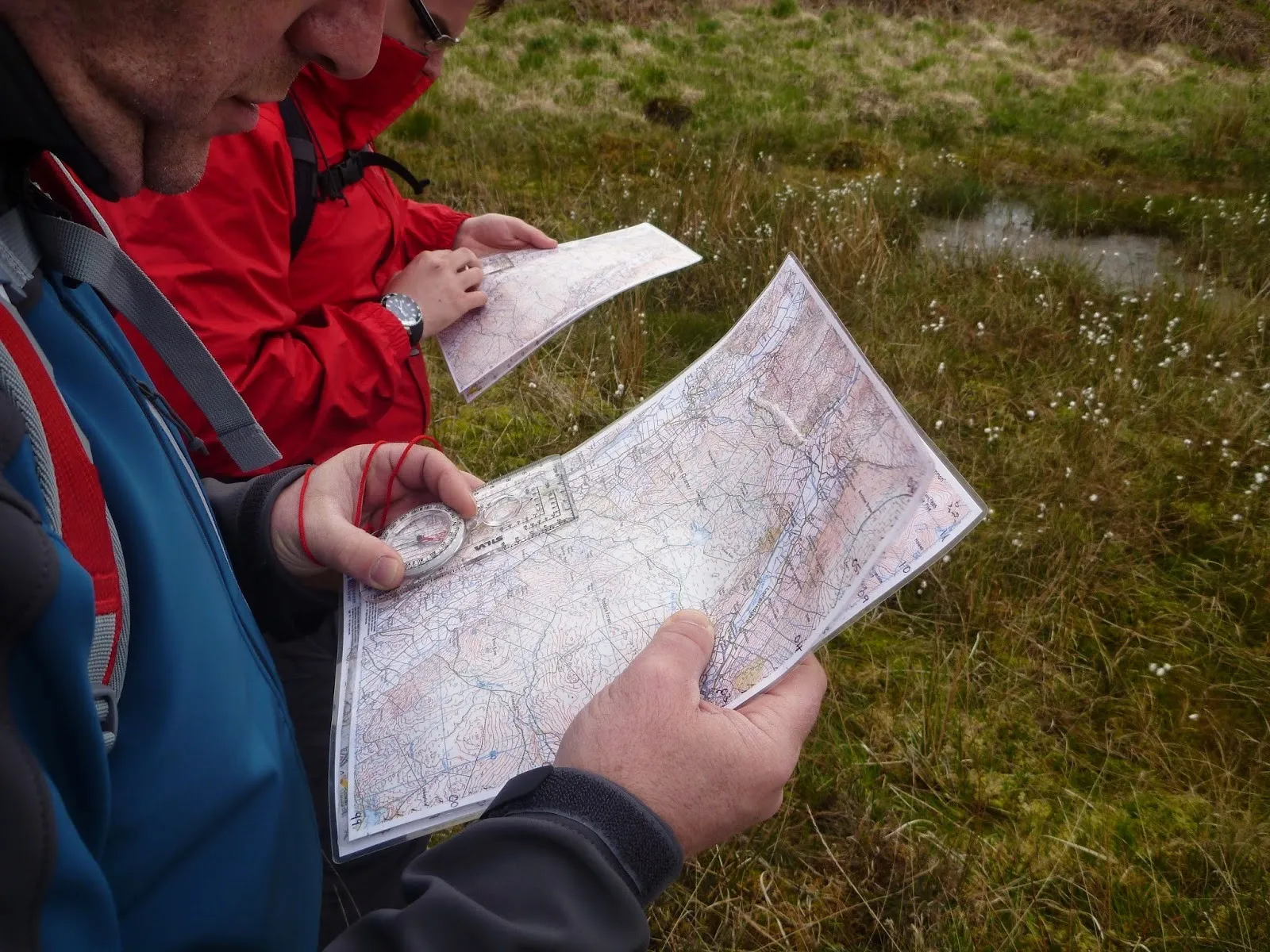
Currently, it’s a common feature, although I possess some older maps that lack the time estimates for traveling from one location to another.
I understand that sometimes the provided details aren’t very precise since they represent average times, which can be either inflated or underestimated. I often find it necessary to allocate additional time because factors like taking breaks, photography, and weather can affect my climbing pace.
Nonetheless, I consider such information valuable as it offers insight into the trail and assists with trip organization. If you encounter a map without hiking times, it’s best to avoid it.
Material
Materials are also one of the factors to consider how to choose maps for climbing. There are four types of materials used for maps:
- Paper – This type is inexpensive and light, making it easy to carry, but it’s not very sturdy. It tends to tear at the folds after a few uses, and can be easily damaged by rain and wind. If you purchase a paper map, you can laminate it at home using wide transparent tape, which works effectively. I’ve done this myself numerous times since some publishers provide excellent maps without lamination.
- Foil – Maps made from foil are significantly more durable than paper ones due to their foil layer. They can be folded multiple times and resist rain well, all at a low cost. This is my preferred type of map because it offers great durability, is lightweight, and provides excellent value.
- Synthetic – I haven’t personally used a synthetic map yet, but I know they are available. These maps are printed on highly durable synthetic material, suitable for sliding on snow during winter and providing rain protection in summer.
- Laminate – Laminated maps are attractive, long-lasting, and perform well in various weather conditions, potentially lasting for years. However, they come with a high price tag, sometimes up to three times that of paper maps. Additionally, laminated maps tend to be heavier and thicker. While they can be folded easily, adjusting them to show only a specific area can be challenging.
Edition
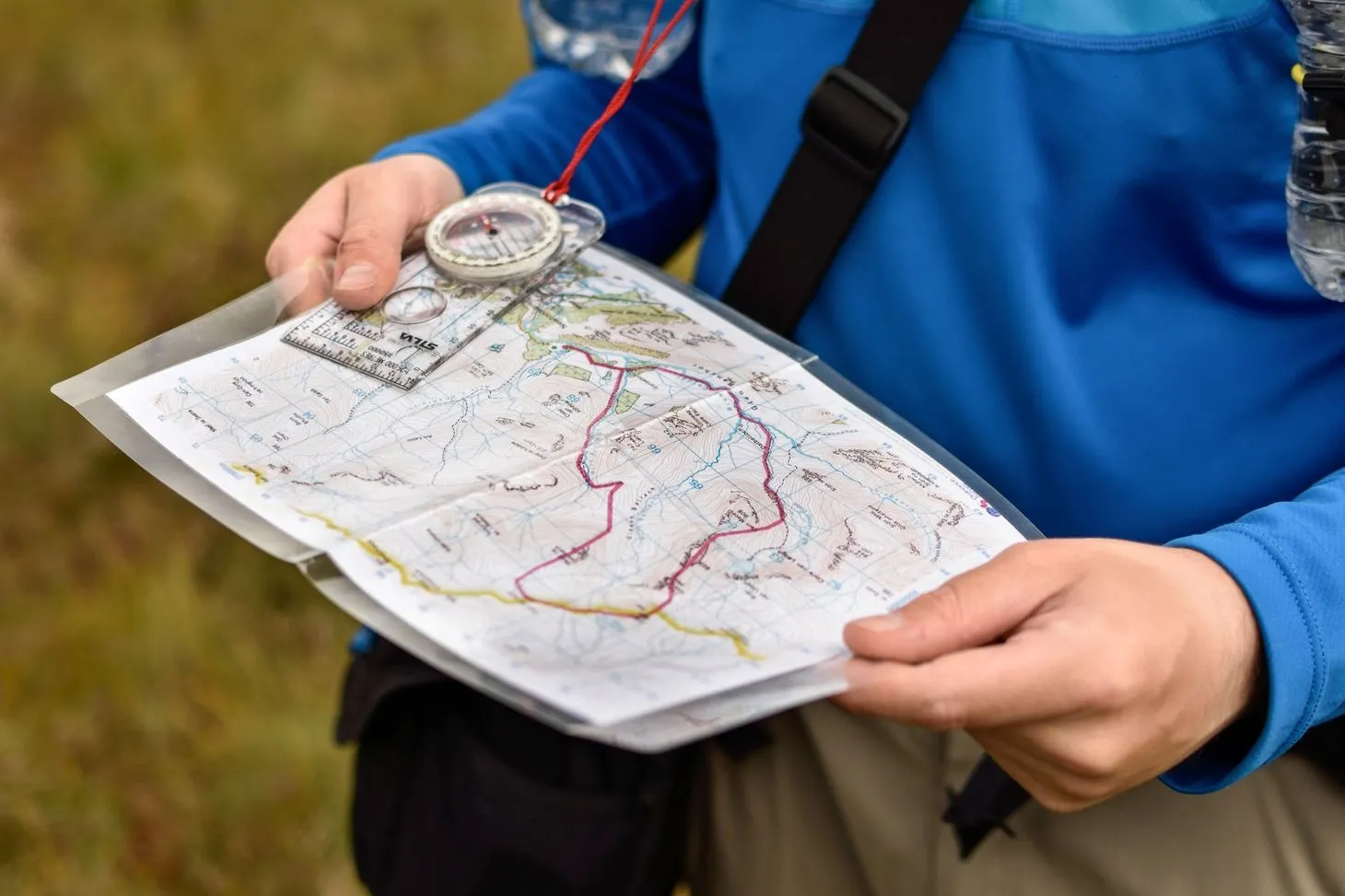
It’s clear that more recent publications are preferable. The latest edition will be the most relevant, and any mistakes from earlier years will have been fixed. There’s always a possibility of discovering new paths that offer stunning views – it would be unfortunate to overlook them, right?
Publisher
When I first began climbing, I would purchase any map that was inexpensive or readily available in bookstores (a true sign of poor trip planning). Now, I’ve gained some knowledge and have a few preferred publishers. You might want to consider getting a map from these sources:
ExpressMap Polska
Most of my maps come from this publisher. I really appreciate their comfort map series. Their maps are also offered in digital format. These maps are precise with well-balanced colors. They include elevation changes on trails and estimated travel times. One downside? They are laminated, and at the folding points, there is often a strip of blank space that can be somewhat bothersome.
WiT
When opened, they are surprisingly compact, which is convenient for hiking and climbing. The trails are thoroughly mapped, with information on closures and extra features (like chains). These maps are made of paper but can be purchased in a foil case, and they are incredibly affordable. Overall, WiT’s maps are accurate and highly detailed, they are developed in collaboration with mountain guides and rescue teams. They also provide contact information for mountain rescue services and regional tourists.
Additional Features
While the scale, detail, topographic features, and accuracy are essential components of a hiking trail map, additional elements can also improve your outdoor experience.
Look for maps that provide extra information such as trailhead locations, parking spots, campgrounds, water sources, scenic overlooks, and notable landmarks. These details can assist you in effectively planning and maximizing your time spent outdoors.
Conclusion
A comprehensive guide on how to choose maps for climbing that will take your adventures to the next level! By considering the key factors we’ve outlined, from map scale and contour intervals to GPS compatibility and durability, you’ll be well-equipped to select the perfect map for your next climb. Remember, a good map is more than just a tool – it’s your key to unlocking a world of breathtaking views, thrilling routes, and unforgettable experiences. So, get out there and start exploring with confidence!
FAQs
Can Google Maps be used for hiking?
Google Maps provides several tools to help you find hiking paths. Here are some options: Satellite View: Change to satellite mode for a better understanding of the landscape. This option gives you a lifelike representation of the area, making it easier to spot trails that might not be indicated.
How to find mountaineering routes?
For well-known trails, there are frequent trip reports available from individuals who have climbed the mountain recently. Sites like SummitPost.org serve as excellent resources for information about peaks and routes.
What makes maps good maps for climbing?
An effective map is one that conveys its information clearly to the viewer. It should allow for easy understanding of its components through the symbols and visuals presented, help with orientation, and provide information about distances and directions.

